Tesla Adopts Fleet-Based Mapping to Patch FSD Navigation Gaps
The automaker is developing proprietary maps to resolve persistent issues with speed limit recognition and route selection, marking a strategic pivot from its previous vision-only approach.
By Mykola Bondarenko ·
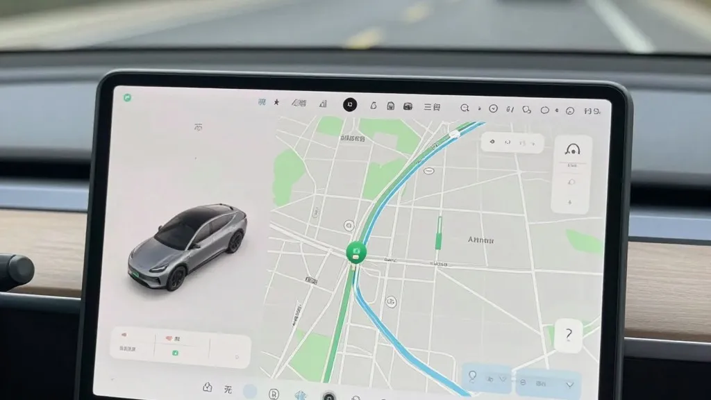
The electric vehicle industry has long debated the necessity of high-definition maps for autonomous driving, but Tesla has now confirmed it is building its own to address specific software shortcomings. On its third-quarter 2026 earnings call, the company announced that its fleet of vehicles will begin generating proprietary map data to improve the reliability of its Full Self-Driving system.
Tesla’s VP of AI, Ashok Elluswamy, stated that the company should not rely on external providers for navigation data. He explained that a new AI-based architecture will use collective fleet learning to create maps that also adapt to individual driver preferences and voice commands. This system is expected to debut in FSD version 15, initially managing trip start and end points before expanding to full navigation and parking functions over the coming months.
This development represents a significant departure from the company’s historical stance. In 2019, CEO Elon Musk publicly dismissed high-precision lane maps as a "huge mistake" that made self-driving systems brittle. At the time, Tesla positioned its camera-based vision system as a superior alternative to the lidar and mapping technologies used by competitors like Waymo. Now, seven years later, the company is implementing a map layer derived from its own customer base to correct errors its vision system frequently makes.
The push for internal mapping is driven by recurring failures in basic environmental understanding, particularly regarding speed limits. Recent testing in Brussels found that Tesla vehicles exceeded speed limits in over half of the zones observed, often due to incorrect on-screen displays. Additionally, U.S. regulators are considering an investigation into whether Tesla Robotaxis properly adhere to speed limits in active school zones. These issues highlight the difficulty of relying solely on end-to-end vision for simple road information.
The new approach brings Tesla’s methodology closer to that of its competitors. Waymo has long used its sensor-equipped fleet to map cities before launching service, a process that keeps data current. Tesla is now employing a similar strategy, using its extensive network of cars to collect and share environmental data. While Tesla is not yet using centimeter-level high-definition maps, the system is designed to become more detailed over time, aligning with its geofenced Robotaxi operations.
This shift underscores the practical limitations of a purely vision-based approach. By integrating fleet-generated maps, Tesla aims to reduce common navigation errors that have persisted since the launch of Autopilot. The move suggests that a combination of real-time sensor data and a continuously updated map is becoming the standard for reliable autonomous driving, regardless of the specific technology used to capture that data.
As Tesla continues to refine its FSD software, the adoption of proprietary mapping signals a pragmatic adjustment to its long-term goals. The company is leveraging its large customer base to create a competitive advantage in navigation accuracy, addressing the very issues that previously drew criticism from drivers and safety advocates alike.
Source: Electrek